


![Downtown Rochester from the Cascade District [PHOTO: Rochester City Hall]](https://www.rochestersubway.com/topics/wp-content/uploads/Downtown_From_Cascade.jpg)
While poking around the Rochester Image Database that the Monroe Public Library so lovingly maintains, I bumped into a series of 24 aerial photographs taken in 1982. That in and of itself wouldn’t be the most interesting thing ever, except the images portray Rochester in the middle of an incredible transition to be much closer to the city we know now than the one anyone might have recognized from before.
Posts Tagged ‘Rochester Aerial Photography’...
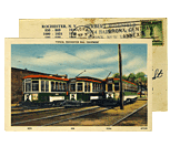
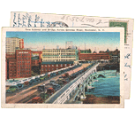
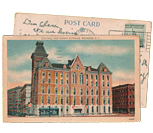
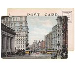
Rochester 1982
Wednesday, October 19th, 2016Tags: BCBS, Can of Worms, Charlotte, Convention Center, Corn Hill, Corn Hill Commons, County Offices, High Falls, Hotel Rochester, implosion, Inner Loop, Lower Falls, Matt Denker, Matthew Denker, North Chestnut Street, Rochester Aerial Photography, South Wedge, Strong
Posted in Rochester History, Rochester Images | 14 Comments »